About me
At GeoJavi, I believe that Geographic Information Systems (GIS) should be accessible, practical, and empowering.
Whether you’re new to GIS or looking to improve how your organisation uses spatial data, we’re here to help you gain confidence, save time, and get real results from your maps and data.
Our Services
Expert support in GIS technologies and applications.
Tailored training for QGIS, PostGIS, and LiDAR.
Professional advice to enhance your GIS projects.
Get Started
Explore our GIS services and enhance your skills today.

About Javi
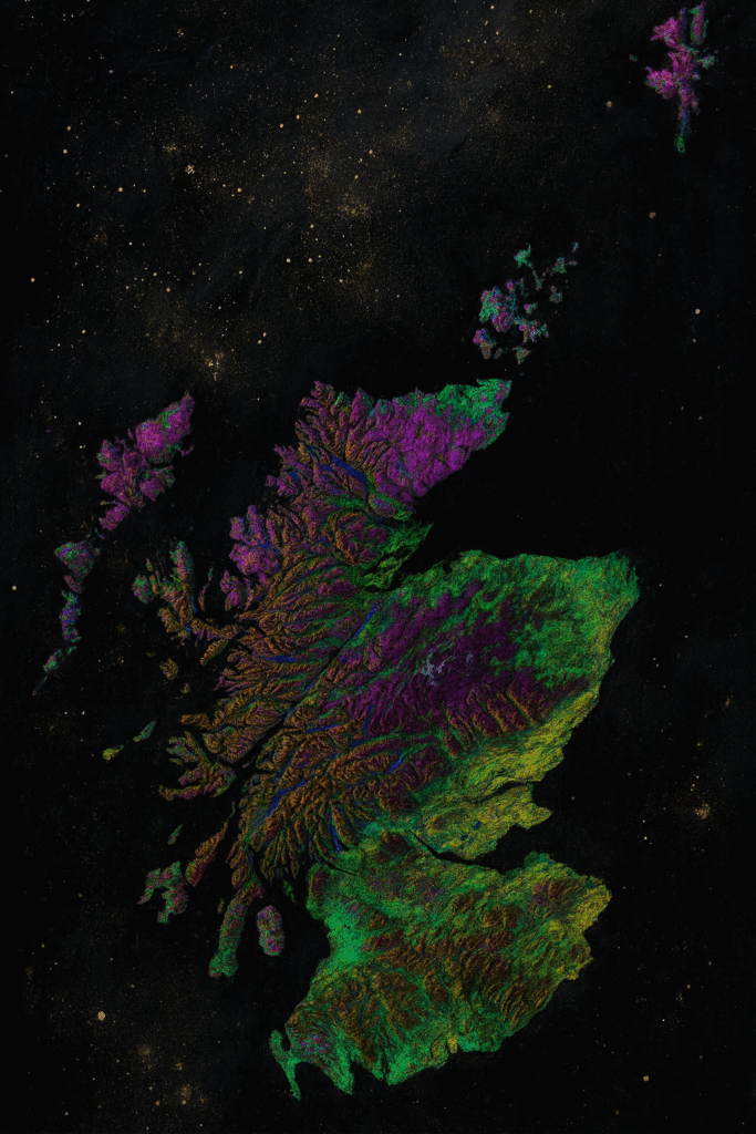
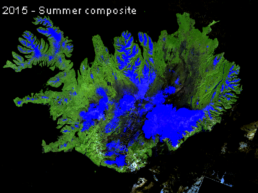
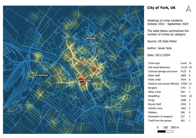
I’m Javi, a GIS specialist with over 10 years of experience across the public and private sectors in the UK. My work ranges from utility networks to environmental projects like peatland restoration.
I specialise in open-source GIS, particularly QGIS, PostGIS, and LiDAR data processing using open-source tools. I’m passionate about helping people use spatial data confidently and effectively through practical, accessible GIS training and support.